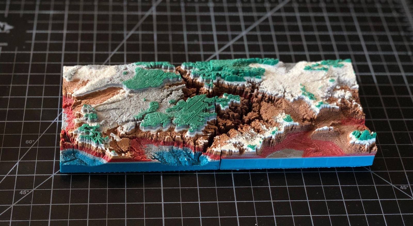
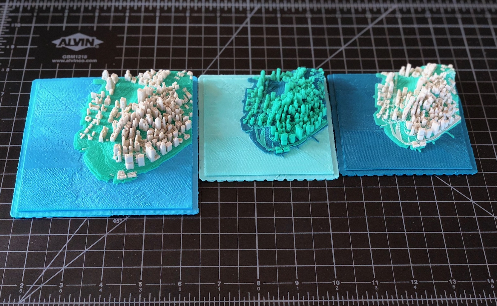
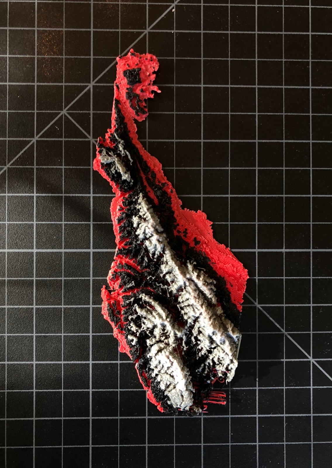
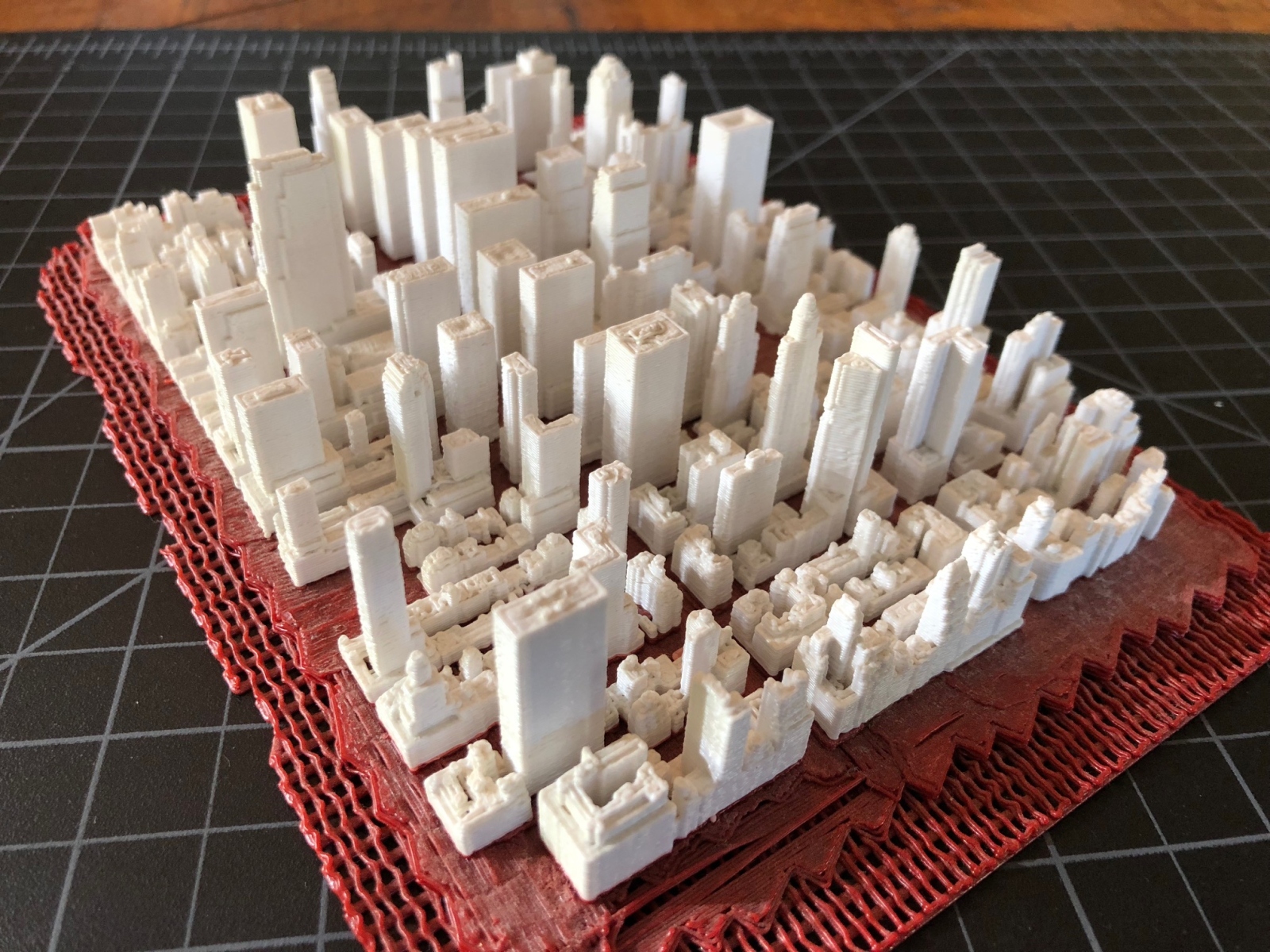
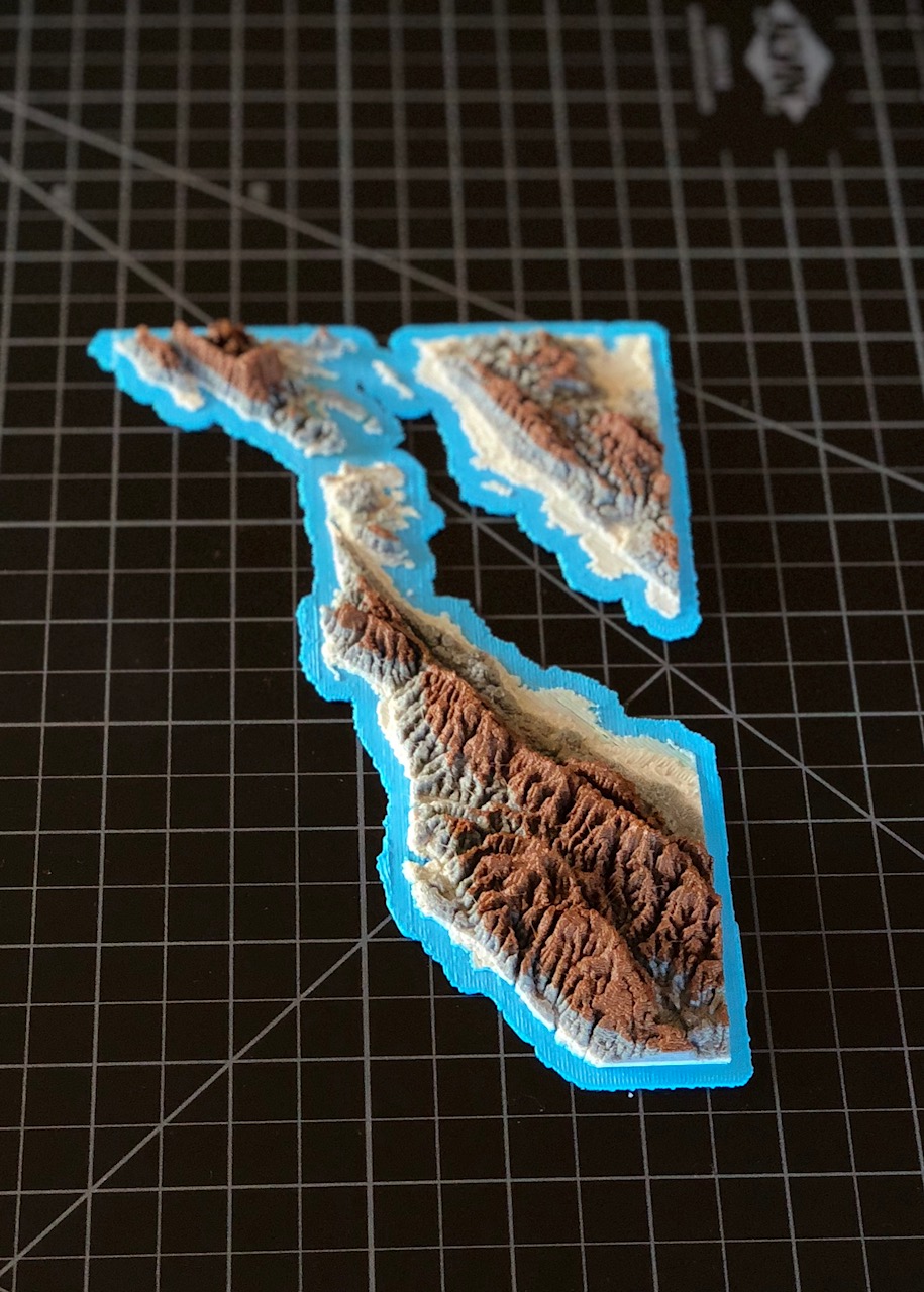
I developed a pipeline in Python to process map data (heightmaps, lidar, road networks, etc) and convert it into a 3D format that is optimized for 3D Printing.
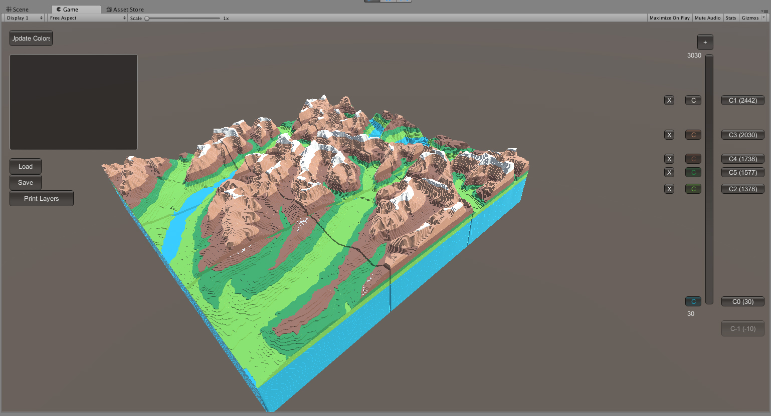
I also wrote an accompanying visualizer in Unity3D to preview and create color configurations that get sent directly to the 3d printer by modifying machine gcode.
Here are some of the experiments I’ve done;