Automated 3D Printed Map Terrain Tiles
3D Printing, Maps, Unity
I developed a pipeline in Python to process map data for 3D printing, and a visualizer in Unity to plan colors.
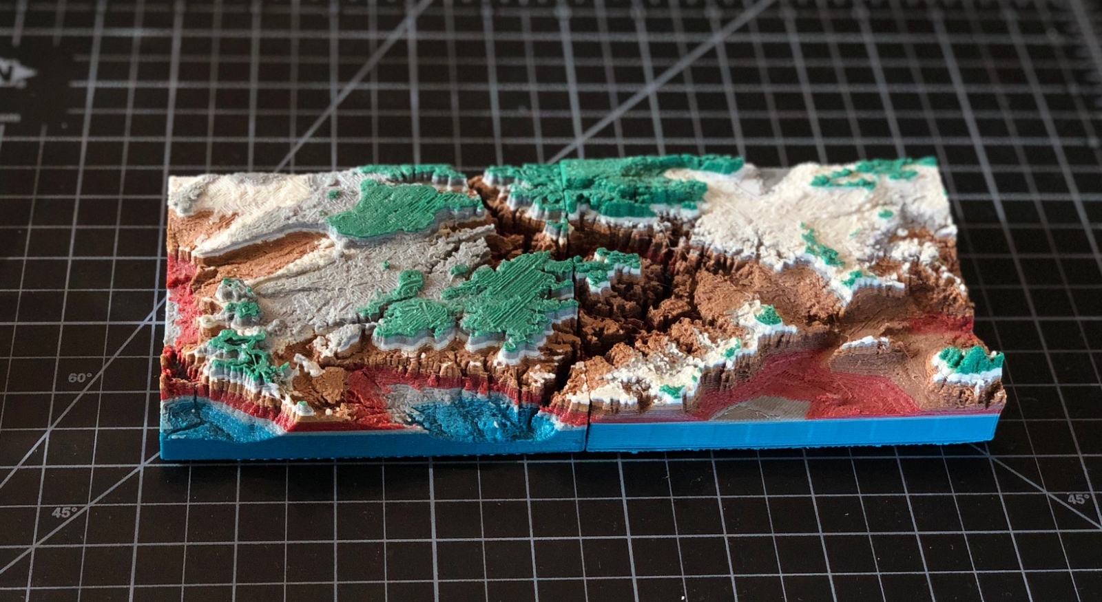
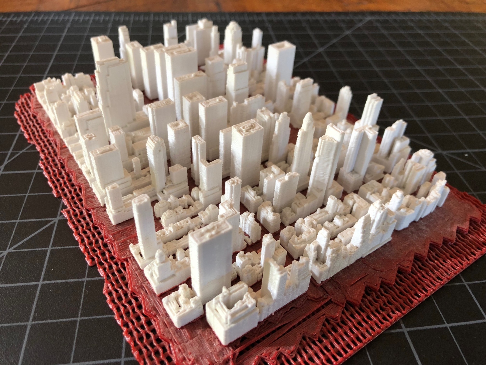
I developed a pipeline in Python to process map data for 3D printing, and a visualizer in Unity to plan colors.
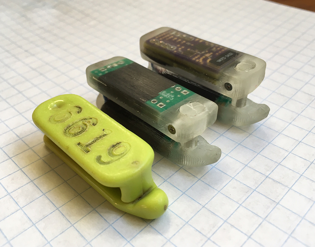
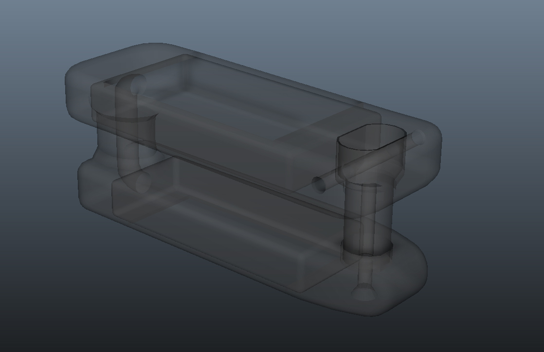
I created a design that is currently being used to track sea otter migration by GPS (chip designed by NASA). The design had to account for tension in particular bending points, electronic component dimensions, and size constraints based on anatomy of Otter flipper.